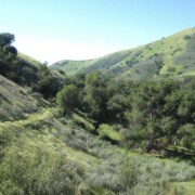
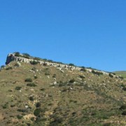
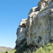
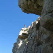
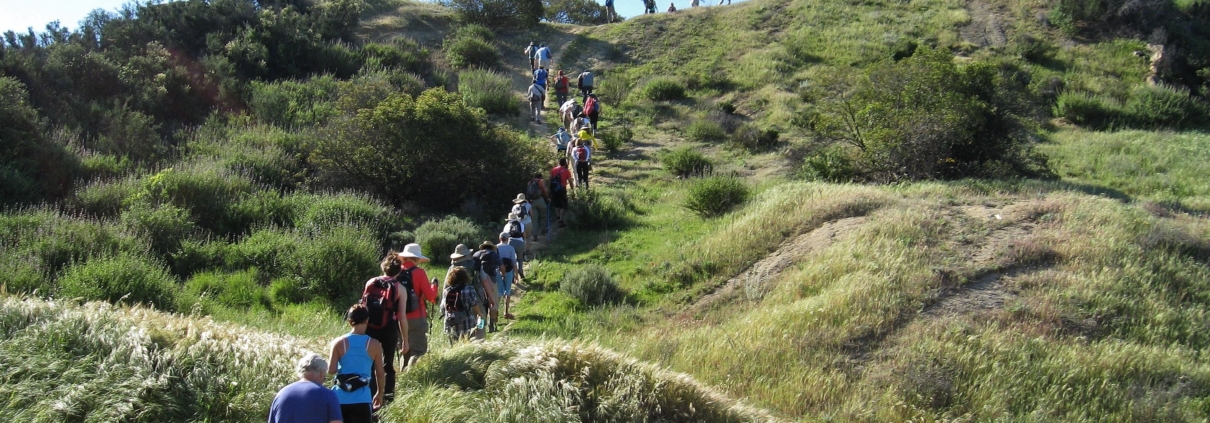
Las Virgenes and Cheeseboro Canyons like you have never seen them before!

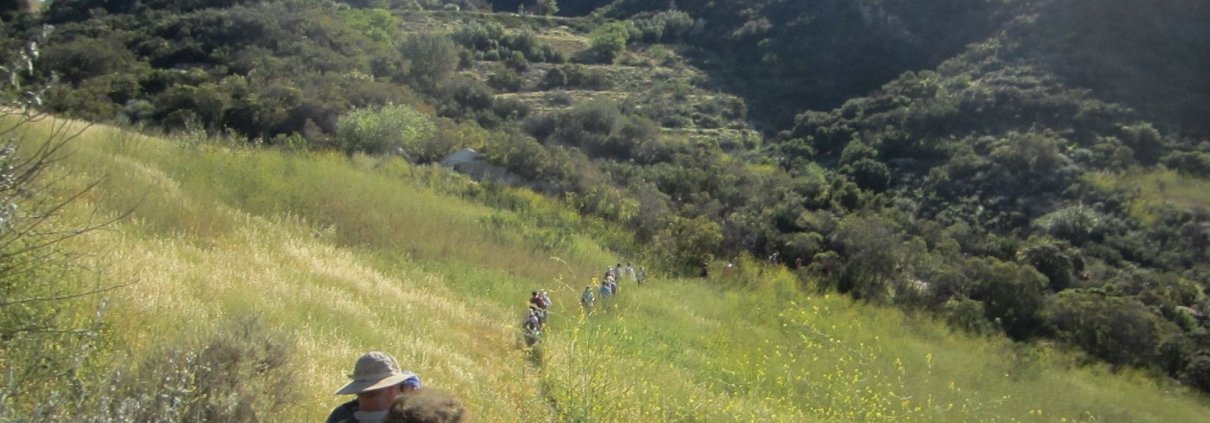
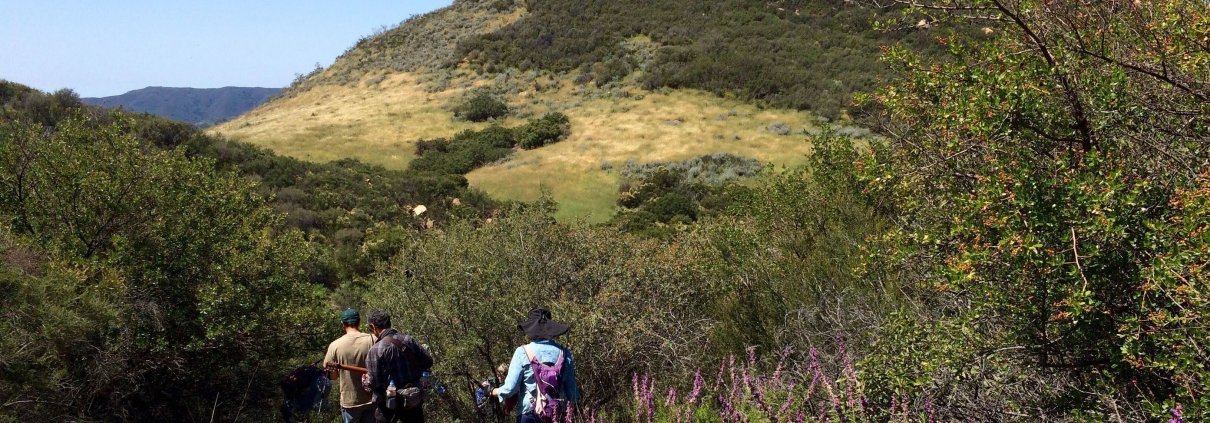
This adventure hike arose from an exploratory I did in April 2010. We’ll hike along forgotten ranch roads and use trails. It will include a hike over the eastern ridge of Cheeseboro Canyon and to the Baleen Wall along a forgotten and overgrown trail. We’ll then descend into Upper Las Virgenes Canyon by way of a vanished ranch road (This segment is sure to be very overgrown. Be prepared for a little bushwhacking). Much of the hike will be on well-known trails.

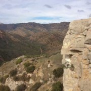
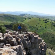
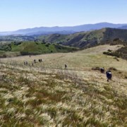
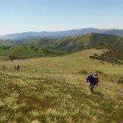
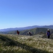
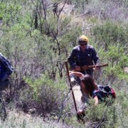
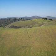
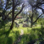
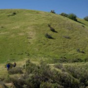
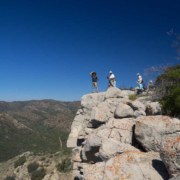
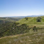
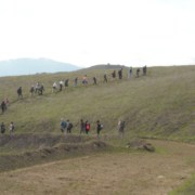
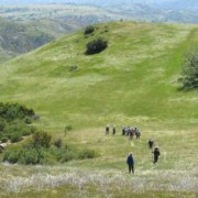
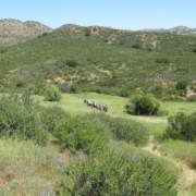
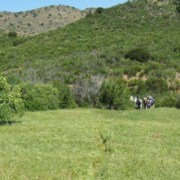
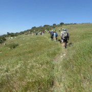
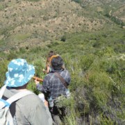
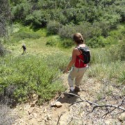
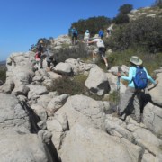
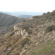
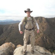
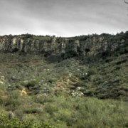
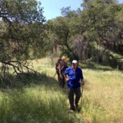
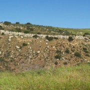
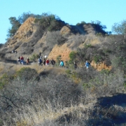
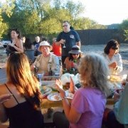
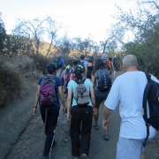
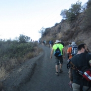
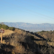
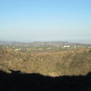
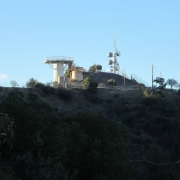
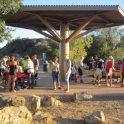
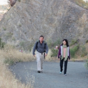
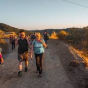
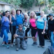
Here are some photos from a couple previous hikes showing some of these trails

Click on pic to enlarge

Hike Rating

Hike is 8-10 miles with about 1500 ft total ascent and is rated DIFFICULT due to terrain and distance. See the Hike Ratings Guide

Bring plenty of water, snacks, hat, sunscreen, your best hiking boots. Long pants may be desirable in one section.

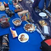
Post-hike Lunch

La Paz
4505 Las Virgenes Rd.
Calabasas, CA 91302

Prize Give-away

After THE hike, and during the post-hike lunch, I’ll be drawing two HWD V.I.P. Club member names at random for some prizes — one winner will receive a new backpack, the other a “hydroflask.” For more info see lower left of https://www.hikingwithdean.com/hwd-vip-club/

Meet at the north end of Las Virgenes Rd

To get there exit the 101 at Las Virgenes Rd/Malibu Canyon and turn north. Go all the way to end and park on street

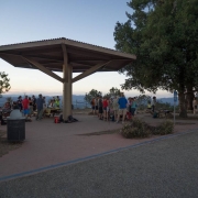
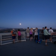
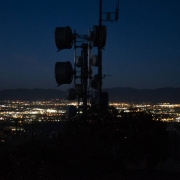
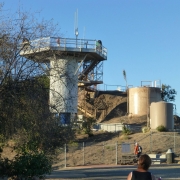
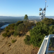
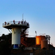
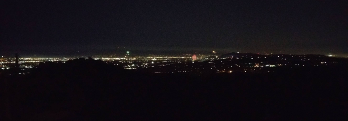
San Vicente Mountain Park (aka Nike Missile Base) offers stunning 360-degree views, access to a large network of hiking trails, and makes the perfect location for watching 4th of July fireworks over the San Fernando Valley and across the Los Angeles Basin to the ocean.  The park also provides a glimpse into United States military history.  Numerous self-guided interpretive displays explain how from 1956-1968, San Vicente Mountain was one of sixteen Los Angeles area Nike-Ajax supersonic anti-aircraft missile launch sites

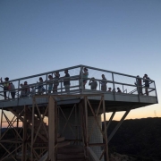
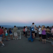
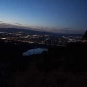
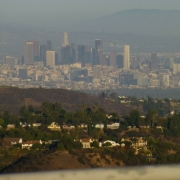
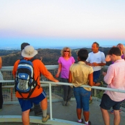
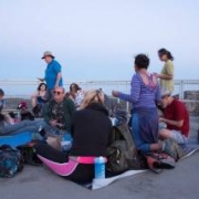
The original radar tower will provide us with spectacular views of the Santa Monica Mountains, the Encino Reservoir, San Fernando Valley, and the Los Angeles Basin. It is one of the region’s premiere locations to watch a Western sunset.

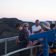
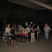
Here are some pics from previous excursions – click to enlarge


This is an easy-to-moderate 5-mile loop with 600 feet of net elevation gain (about 750 total) makes for an excellent hike along and around Mandeville Canyon and its ridges.

Please no white flashlights, headlamps, etc. If you want to bring some light (not required/optional) use a green or red light. Here are some cheap and fun solutions. Buy one today — green is the best

[asa2_collection show_prime=”no” title_length=”50″ savings_text_style=”long” max_width=”2000″ max_row_items=”3″ tpl=” Flex_1″ width=”50%”]4[/asa2_collection]

See http://www.lamountains.com/parks.asp?parkid=54 for park info

Bring food/snacks and drink to share — we’ll hike them to the top.

There are facilities at San Vicente Mountain Park including bathrooms, picnic tables, water and trash cans.

Map of Hike

Here is a map of our hike. Click, print and bring it with you

Directions to Trailhead

From Sunset Boulevard, 2.3 miles west of the 405 freeway, head north on Mandeville Canyon Road. Drive 4.8 miles, and turn left onto Garden Land Road. The trailhead is at end of road.

Parking Tip: There probably won’t be any parking available on Garden Land because its a very short residential street, so park on west side of Mandeville as close to the corner as possible

There are neighborhood homes around the trailhead, please keep noise to a minimum…..until hike starts 😉

Trivia: Did you know Mandeville Canyon Rd is reputed to be the longest paved dead-end road in Los Angeles

No Dogs

The Organizers and members of Hiking With Dean are not professional leaders, guides, or mountaineers. The function of the member or organizer is only to organize the trip. Each person who shows up for a trip/meetup (and their guest or guests) is responsible for his or her own safety. By attending a hike, or any other event organized by this group, you are acknowledging that you and any guests that you bring are aware of the risks, dangers and hazards associated with the activity and freely accept and fully assume all such risks, dangers and hazards, and further agree to release and discharge the Organizers, Members of the Hiking With Dean Meetup Group from and against any and all liability arising from your participation in the group activities per our ASSUMPTION OF RISK AND LIABILITY WAIVER and Section 6.2 of the Meetup.com Terms of Service.

Don’t forget to join our FB group at https://www.facebook.com/groups/hikingwithdean/

The Details

We’ll begin at the Secret Trail (aka the Calabasas-Cold Creek Trail) and wind our way through shaded ravines, dense chaparral and sandstone outcrops until we reach Calabasas Peak Motorway. Here we throw away the hiking book (I lose so many books this way) and instead of taking the Motorway to Calabasas Peak, we’ll go off-trail along some use trails. We’ll not only bag the peak, but we’ll also circumnavigate it along an old overgrown trail.

Optional: There are a lot of giant sandstone slabs and other formations to explore, but not required. Members who like rock climbing are encouraged to do so, the rest of us will take pictures

Calabasas Peak (2163 ft) towers over Red Rock Canyon, Old Topanga Canyon and bowl-shaped Cold Creek Canyon. From the top there are spectacular views into Ventura County, the Pacific Ocean and San Fernando and Simi valleys.

Hike is 4.7 miles with about 1,200 feet total gain. We’ll have our snack break at this hidden cistern. Don’t drink the water hee hee

Dogs ok

No beginners

Post Hike Lunch

Post hike lunch at Maria’s Italian Kitchen in El Camino shopping center at 23331 Mulholland Dr. Its to the left of Wells Fargo

Directions

The trail head is located on Mulholland Hwy less than a fifth of a mile west of Dry Canyon Cold Creek Road.

Note that on the Meetup map there is a red and a gold pinpoint. Aim for the gold one See my interactive map (https://drive.google.com/open?id=1l1EEA8jjzl0sxbC5G_PfLVDodp4&usp=sharing)

Coordinates: 34.12666, -118.65748 (https://drive.google.com/open?id=1l1EEA8jjzl0sxbC5G_PfLVDodp4&usp=sharing)

From the 101 freeway in Agoura/Calabasas, head South on Las Virgenes Road to Mulholland Hwy. Turn Left on Mulholland and continue 5.7 miles to a small parking area on the right. or….

From 101 Ventura Fwy in the Vally: take Valley Circle/Mulholland Dr exit south, turn right on Valmar Rd (becomes Old Topanga Cyn Rd) then right on Mulholland Hwy 2.1 miles to the parking area on the left.

From PCH take Topanga Canyon and turn left up Old Topanga. Take a left at Mulholland Hwy for a couple miles and then turn left onto turnout. If you are coming up Malibu Canyon take a right at Mulholland for 5.7 miles

Park off-pavement. There is overflow parking 500′ south (“west”) across the street next to the house. Click for map (https://www.google.com/maps/d/edit?mid=zj-8HsFWf0b8.k4q5XWXamcxQ&usp=sharing)

Bring at least 2 qts water, snacks, sunscreen.

Important

The Organizers and members of Hiking With Dean are not professional leaders, guides, or mountaineers. The function of the member or organizer is only to organize the trip. Each person who shows up for a trip/meetup (and their guest or guests) is responsible for his or her own safety. By attending a hike, or any other event organized by this group, you are acknowledging that you and any guests that you bring are aware of the risks, dangers and hazards associated with the activity and freely accept and fully assume all such risks, dangers and hazards, and further agree to release and discharge the Organizers, Members of the Hiking With Dean Meetup Group from and against any and all liability arising from your participation in the group activities per our ASSUMPTION OF RISK AND LIABILITY WAIVER and Section 6.2 of the Meetup.com Terms of Service.

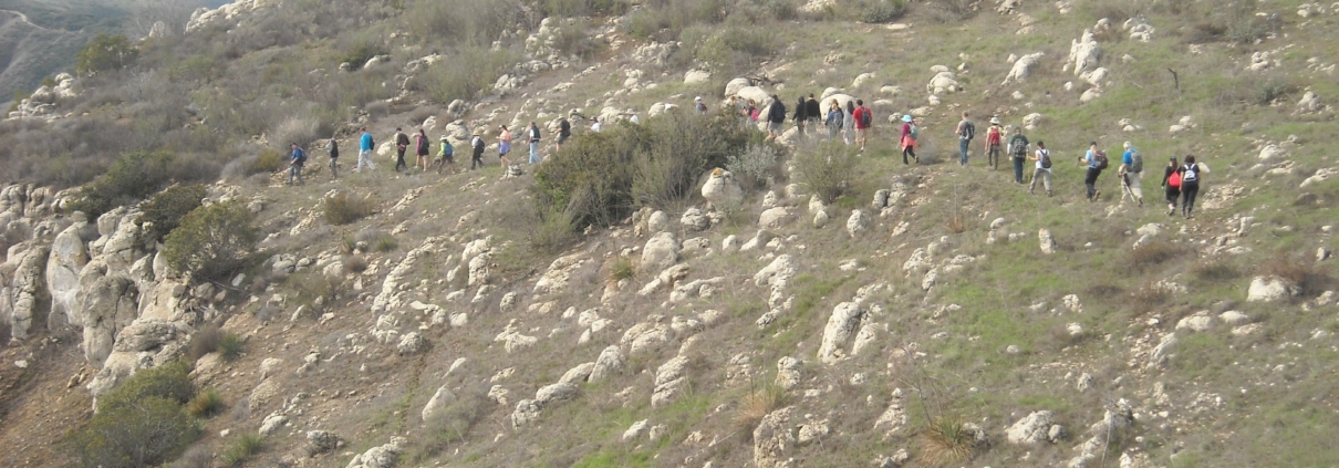
The first time we explored this one it started raining. Have you ever tried bushwhacking in the rain to find a trail that hadn’t been used since the 90s? We gave up, but returned later and found our trail, thus creating a brand new loop hike just for our VIPs!

My secret trail connects the Cold Creek Preserve with a segment of the Backbone Trail. We’ll take a couple of side trips to the VIP Clubhouse and an old water tank.

Post hike lunch at Maria’s Italian Kitchen in El Camino shopping center at 23331 Mulholland Dr. Its to the left of Wells Fargo. The corkage fee is only $10.00

We’ll be hiking through uncharted meadows

…some optional rock climbing….

….meandering between trees and bushes….

Nothing like a cold shower under the weeping rock

We will be hiking off-trail that will most likely require some bushwhacking and poison oak avoidance. Wear long pants, long sleeves and good hiking boots. Hike is about 6 miles with 1,200 ft total ascent. Expect the unexpected.
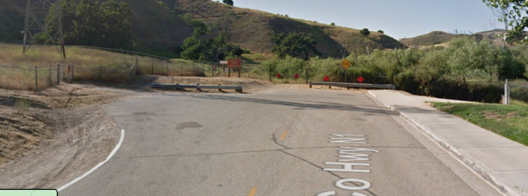
DIRECTIONS

From Mulholland Hwy, drive up Stunt for about 2 miles. Park in a turnout near pipe gate at 2.06 mile marker.

From PCH take Las Flores to Schueren to Stunt to 2.06 mile marker

Cold Creek High Trail
1200 Stunt Rd, Calabasas (appx)

Don’t forget to join our FB group at https://www.facebook.com/groups/hikingwithdean/

The Details

We’ll begin at the Secret Trail (aka the Calabasas-Cold Creek Trail) and wind our way through shaded ravines, dense chaparral and sandstone outcrops until we reach Calabasas Peak Motorway. Here we throw away the hiking book (I lose so many books this way) and instead of taking the Motorway to Calabasas Peak, we’ll go off-trail along some use trails. We’ll not only bag the peak, but we’ll also circumnavigate it along an old overgrown trail.

Optional: There are a lot of giant sandstone slabs and other formations to explore, but not required. Members who like rock climbing are encouraged to do so, the rest of us will take pictures

Calabasas Peak (2163 ft) towers over Red Rock Canyon, Old Topanga Canyon and bowl-shaped Cold Creek Canyon. From the top there are spectacular views into Ventura County, the Pacific Ocean and San Fernando and Simi valleys.

Hike is 4.7 miles with about 1,200 feet total gain. We’ll have our snack break at this hidden cistern. Don’t drink the water hee hee

Dogs ok

No beginners

Post Hike Lunch

Post hike lunch at Maria’s Italian Kitchen in El Camino shopping center at 23331 Mulholland Dr. Its to the left of Wells Fargo

Directions

The trail head is located on Mulholland Hwy less than a fifth of a mile west of Dry Canyon Cold Creek Road.

Note that on the Meetup map there is a red and a gold pinpoint. Aim for the gold one See my interactive map (https://drive.google.com/open?id=1l1EEA8jjzl0sxbC5G_PfLVDodp4&usp=sharing)

Coordinates: 34.12666, -118.65748 (https://drive.google.com/open?id=1l1EEA8jjzl0sxbC5G_PfLVDodp4&usp=sharing)

From the 101 freeway in Agoura/Calabasas, head South on Las Virgenes Road to Mulholland Hwy. Turn Left on Mulholland and continue 5.7 miles to a small parking area on the right. or….

From 101 Ventura Fwy in the Vally: take Valley Circle/Mulholland Dr exit south, turn right on Valmar Rd (becomes Old Topanga Cyn Rd) then right on Mulholland Hwy 2.1 miles to the parking area on the left.

From PCH take Topanga Canyon and turn left up Old Topanga. Take a left at Mulholland Hwy for a couple miles and then turn left onto turnout. If you are coming up Malibu Canyon take a right at Mulholland for 5.7 miles

Park off-pavement. There is overflow parking 500′ south (“west”) across the street next to the house. Click for map (https://www.google.com/maps/d/edit?mid=zj-8HsFWf0b8.k4q5XWXamcxQ&usp=sharing)
Bring at least 2 qts water, snacks, sunscreen.

Important

The Organizers and members of Hiking With Dean are not professional leaders, guides, or mountaineers. The function of the member or organizer is only to organize the trip. Each person who shows up for a trip/meetup (and their guest or guests) is responsible for his or her own safety. By attending a hike, or any other event organized by this group, you are acknowledging that you and any guests that you bring are aware of the risks, dangers and hazards associated with the activity and freely accept and fully assume all such risks, dangers and hazards, and further agree to release and discharge the Organizers, Members of the Hiking With Dean Meetup Group from and against any and all liability arising from your participation in the group activities per our ASSUMPTION OF RISK AND LIABILITY WAIVER and Section 6.2 of the Meetup.com Terms of Service.