Cold Creek Adventure
July 27, 2019
[restrict]
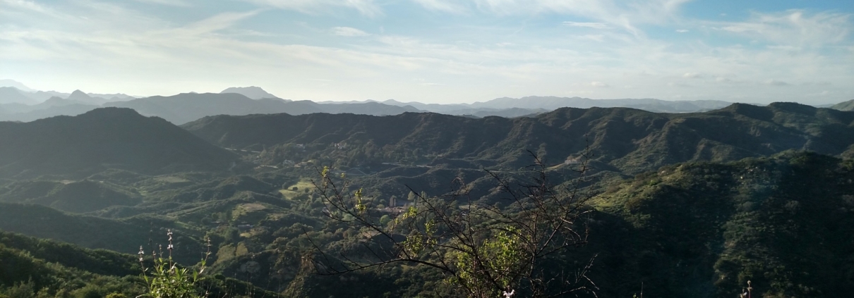
This Cold Creek adventure includes a secret trail that connects the Cold Creek Preserve to the Backbone Trail. Highlights include some old water tanks, the site of a Nike Missile base and the tallest peak in Malibu.
Post hike lunch at Maria’s Italian Kitchen in El Camino shopping center at 23331 Mulholland Dr. Its to the left of Wells Fargo. The corkage fee is only $10.00, so bring your own wine and save a few bucks
During lunch there will be a drawing for some prizes including a backpack and Hydroflask knock-off. You must attend the hike to win (but not the lunch)
We’ll be hiking through uncharted meadows….
…some optional rock climbing….
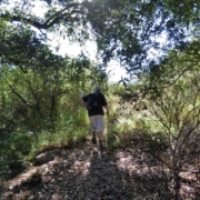
….meandering between trees and bushes….

Nothing like a cold shower under the weeping rock

Perhaps there will be time to visit the VIP Clubhouse

We will be hiking off-trail and may require some bushwhacking and poison oak avoidance. Wear long pants good hiking shoes. Hike is about 5.5 miles with a little over 1,000 ft elevation gain. Expect the unexpected.
You must be a member of the VIP Club to attend this hike. Please visit https://www.hikingwithdean.com/hwd-vip-club/ to join.
Photos from previous hikes:
https://www.meetup.com/localhikers/photos/26039286/ (https://www.meetup.com/localhikers/photos/all_photos/?photoAlbumId=26039286)
https://www.meetup.com/localhikers/photos/26671490/ (https://www.meetup.com/localhikers/photos/26039286/)
Directions
From Mulholland, drive up Stunt for about 2 miles. Park in a turnout near pipe gate at 2.06 mile marker.
From PCH take Las Flores to Schueren to Stunt to 2.06 mile marker


[/restrict]
GPS Class
June 22, 2019
Hike Report
| Mileage | 4.2 miles |
|---|---|
| Minimum Elevation | 860 ft |
| Maximum Elevation | 1,630 ft |
| Total Ascent | 1,210 ft |
| Moving Time | 2:10 |
| Stopped Time | 1:00 |
Share this hike report
Hike Description
There are no upcoming hikes at this time
Share this hike report


